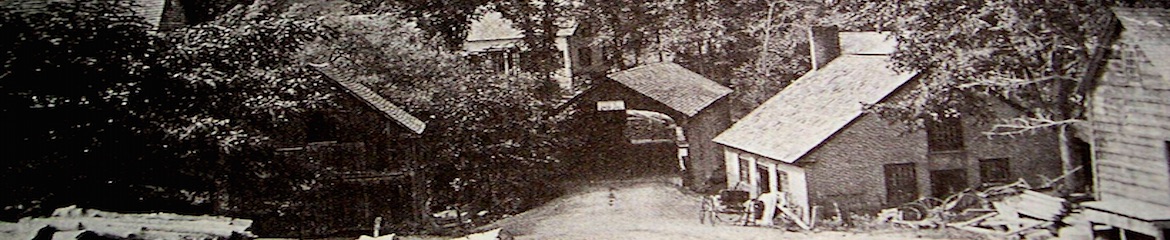
I recently purchased an original hand-coloured map of my town from 1878. I figured you guys may like to see it since it's so cool. I have access to a fancy wide-format scanner at work, and it did an amazing job scanning the map.
It's hosted on Panoramio because it's the only site I could find that would host such a large image. Even still, I had to downsize it to 7379x6408. Click the link below to check out the map.
http://static.panoramio.com/photos/original/82128560.jpg
My house is there, of course, but I am still no closer to learning exactly when it was built.
Does anyone else have similar maps of their town?
1878 Map of Corsica, PA (high-res scan)
-
mattswabb
- Shakes a cane at new house owners
- Posts: 544
- Joined: Sun Aug 16, 2015 8:33 pm
- Location: Elyria Ohio
- Contact:
Re: 1878 Map of Corsica, PA (high-res scan)
We have a 1868 birdseye drawing of our city. It shows another house on our lot. That house was removed when our house was built in 1910. We also have a bunch of Sanborn fire insurance maps.

Re: 1878 Map of Corsica, PA (high-res scan)
That's a great drawing - it seems your town has a nice, planned layout. As you can see, mine is pretty weird. Many of the small alleys on my map no longer exist.
There were no Sanborn fire maps done of Corsica, and I haven't found a birdseye.
There were no Sanborn fire maps done of Corsica, and I haven't found a birdseye.
Re: 1878 Map of Corsica, PA (high-res scan)
The 1858 map of Milton is online http://images.milton.halinet.on.ca/1794 ... /42199?n=5 My house isn't on the map since it is about 5 miles south of the town.